PUBLICATIONS
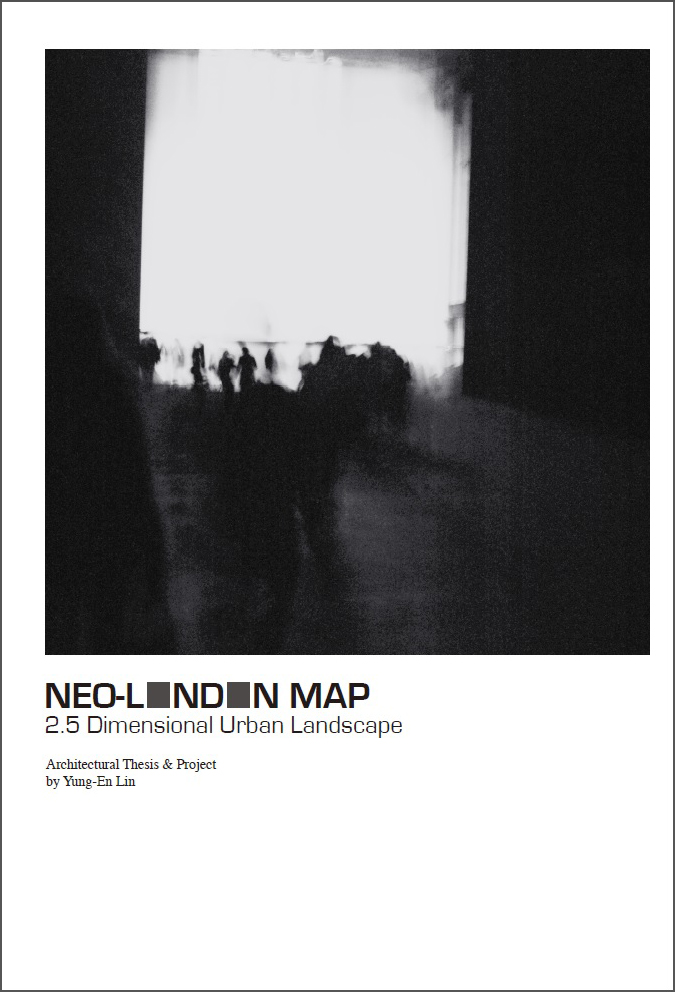
NEO-LONDON MAP
2.5 Dimensional Urban Landscape
The map was made by a city traveler who recorded the fragments of city through out a journey, and then reproduced an individual London map based on his experience, imaginations and memories. The 2.5 dimensions is used as a technique of visual description, presenting an unique visual experience that neither 2D nor 3D can present. The 2.5D not only illustrates the real depths, which is more dynamic than 2D, but also freely connect the fragments of the city in the vision with multiple perspectives, which overwhelmed the limitations of time and distance in 3D. Therefore, 2.5D map could be utilised as a visual technique when presenting the city; people are able to observe the city, events and spaces everyday from different aspects.
2017
- 小草書屋 February 07, 2017
- 誠品黑膠文藝復興運動 September/October 2017
- 克莉斯塔 October/November 2017
- LeVol美好生活誌文具祭 November 11, 2017
2016
- 小草書屋 January 01, 2016
- 台中放送局 April/May 2016
- LeVol美好生活誌文具祭 November 12, 2016
2015
- 漾市集 February 27, 2015
- 邊緣人 June 27, 2015
- 散步計畫 July 25, 2015
- 寶島市集 August 01, 2015
2014
- 中山路99 September 2014-2018
- 木軸咖啡 October 2014-2018
