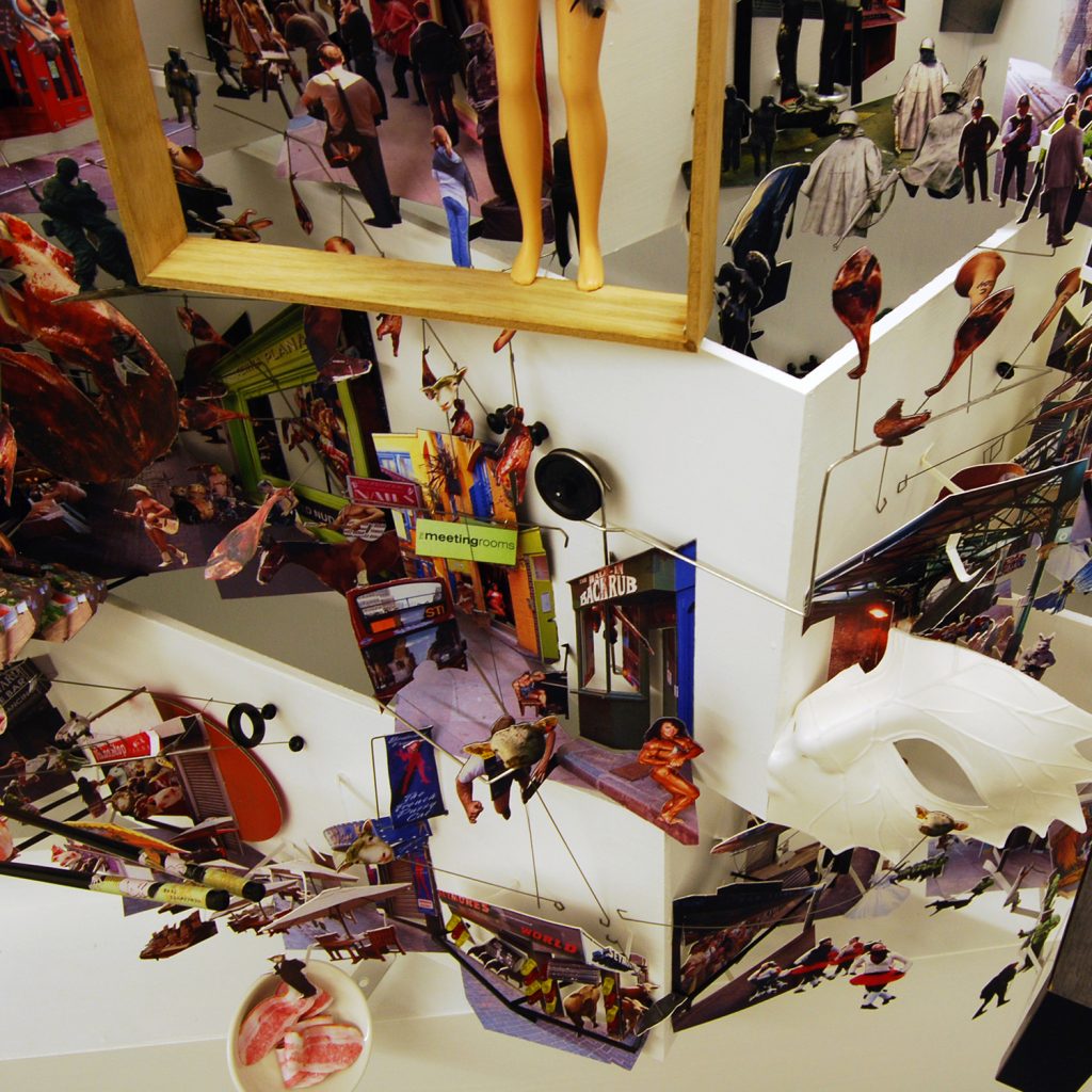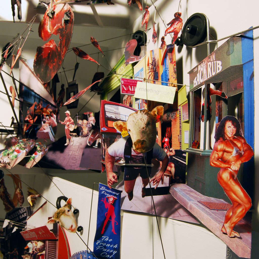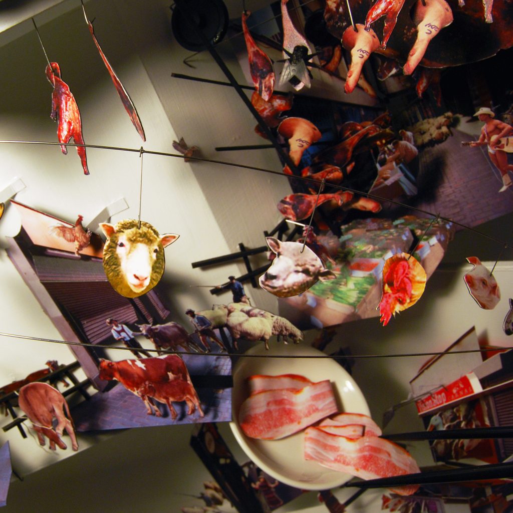
NEO-LONDON MAP・新倫敦地圖
2.5 Dimensional Urban Landscape / 2.5向度的都市地景
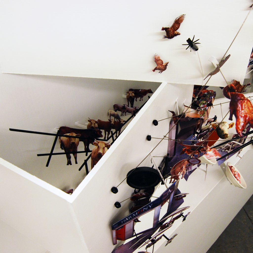
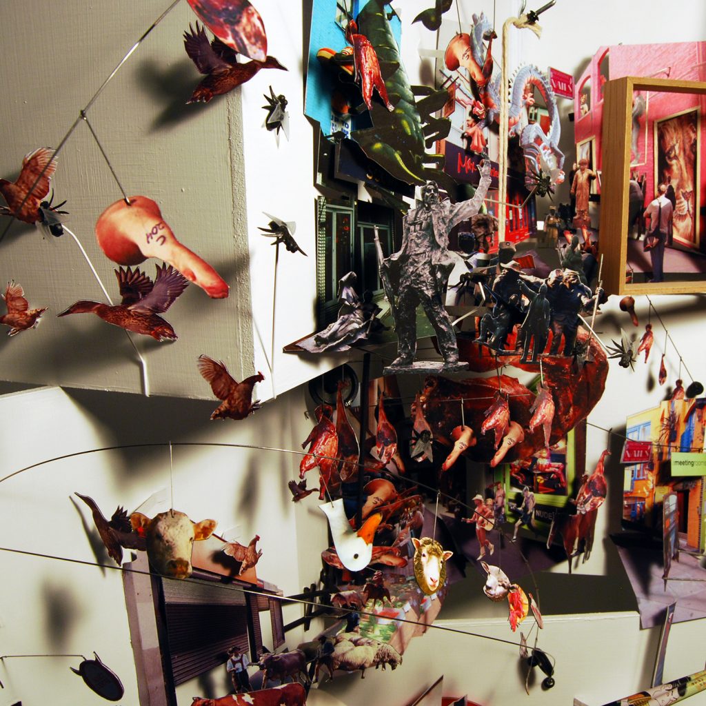
新倫敦地圖的製作是透過旅人記錄在倫敦的旅行片段過程為主軸,並結合個人在旅行中的經驗、想像與記憶,重新再製後的新地圖。在地圖上2.5D(向度)方式的影像呈現,是為了要突破2D或3D影像所無法呈現的狀態。2.5D在此不只可以呈現地圖空間上的真實深度,並且比2D平面影像更具動態感,同時在觀看地圖的過程中,使用多消點透視的方式,使得在視覺觀看上可自由的連結與跳躍城市中各個區域影像片段。這樣的地圖製作方式同時也突破了3D空間中時間與距離的限制,讓觀看地圖與描述城市事件的方式同時保有2D畫面的多重影像與3D空間的深度與透視。在重構旅行的影像後,倫敦已與原本的樣貌不同。新倫敦地圖展現了許多人們熟悉的地方以及旅人對倫敦的個人獨特觀察。因此,2.5D地圖可成為人們從不同面向觀察城市、事件、空間時所再現的視覺表達方式。
The map was made by a city traveler who recorded the fragments of city through out a journey, and then reproduced an individual London map based on his experience, imaginations and memories. The 2.5 dimensions is used as a technique of visual description, presenting an unique visual experience that neither 2D nor 3D can present. The 2.5D not only illustrates the real depths, which is more dynamic than 2D, but also freely connect the fragments of the city in the vision with multiple perspectives, which overwhelmed the limitations of time and distance in 3D. After reframing the images, for traveler, London has been different from what they see originally. It represents some parts of place where people are familiar with and some parts of personal observations from London. Therefore, 2.5D map could be utilised as a visual technique when presenting the city; people are able to observe the city, events and spaces everyday from different aspects.
